File:Land ocean ice 2048.jpg
Jump to navigation
Jump to search

Size of this preview: 800 × 400 pixels. Other resolutions: 320 × 160 pixels | 640 × 320 pixels | 1,024 × 512 pixels | 1,280 × 640 pixels | 2,048 × 1,024 pixels.
Original file (2,048 × 1,024 pixels, file size: 260 KB, MIME type: image/jpeg)
Captions
Captions
Add a one-line explanation of what this file represents
Summary
[edit]
| Description |
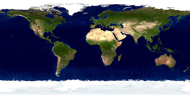
English: The blue marble: land surface, ocean color and sea ice. Français : La bille bleue : surface terrestre, couleur de l'océan et glaces maritimes. Polski: widok na Ziemię |
| Date | |
| Source | http://visibleearth.nasa.gov/view.php?id=57730 (uploaded by Brosen) |
| Author | NASA Goddard Space Flight Center Image by Reto Stöckli (land surface, shallow water, clouds). Enhancements by Robert Simmon (ocean color, compositing, 3D globes, animation). Data and technical support: MODIS Land Group; MODIS Science Data Support Team; MODIS Atmosphere Group; MODIS Ocean Group Additional data: USGS EROS Data Center (topography); USGS Terrestrial Remote Sensing Flagstaff Field Center (Antarctica); Defense Meteorological Satellite Program (city lights). |
| Other versions | Derivative works of this file: Mappemonde paraview.jpg |
Licensing
[edit]
This image or video was catalogued by Goddard Space Flight Center of the United States National Aeronautics and Space Administration (NASA) under Photo ID: G57730. This tag does not indicate the copyright status of the attached work. A normal copyright tag is still required. See Commons:Licensing. Other languages:
|

|
Permission is granted to copy, distribute and/or modify this document under the terms of the GNU Free Documentation License, Version 1.2 or any later version published by the Free Software Foundation; with no Invariant Sections, no Front-Cover Texts, and no Back-Cover Texts. A copy of the license is included in the section entitled GNU Free Documentation License. |
| This file is licensed under the Creative Commons Attribution-Share Alike 3.0 Unported license. | ||
| ||
| This licensing tag was added to this file as part of the GFDL licensing update. |
File history
Click on a date/time to view the file as it appeared at that time.
| Date/Time | Thumbnail | Dimensions | User | Comment | |
|---|---|---|---|---|---|
| current | 11:47, 1 September 2006 | | 2,048 × 1,024 (260 KB) | WarXboT (talk | contribs) | ==Author:== Brosen ==Description:== {{polish}} widok na Ziemię ==License:== {{GFDL}} |
You cannot overwrite this file.
File usage on Commons
The following 2 pages use this file:
File usage on other wikis
The following other wikis use this file:
- Usage on ar.wikipedia.org
- Usage on ba.wikipedia.org
- Usage on ca.wikipedia.org
- Usage on de.wikipedia.org
- Usage on en.wiktionary.org
- Usage on fr.wikipedia.org
- Usage on fy.wikipedia.org
- Usage on pl.wikipedia.org
- Ameryka Północna
- Ameryka Południowa
- Azja
- Eurazja
- Ocean
- Australia (kontynent)
- Czwartorzęd
- Afryka
- Europa
- Australia i Oceania
- Wszechocean
- Wikipedysta:Palladinus/Galeria
- Wikipedysta:Paweł Ziemian/brudnopis
- Moduł:Mapa/dane/świat
- Moduł:Mapa/dane/Ziemia
- Zelandia (mikrokontynent)
- Wikipedysta:Sziroczek officialli
- Usage on pl.wikibooks.org
- Usage on pl.wikiquote.org
- Usage on pl.wiktionary.org
- Usage on ru.wikipedia.org
- Usage on stq.wikipedia.org
- Usage on szl.wikipedia.org
- Usage on tt.wikipedia.org
- Usage on uk.wikipedia.org
- Usage on www.wikidata.org