File:Xuanzang route.jpg
Jump to navigation
Jump to search


Size of this preview: 379 × 599 pixels. Other resolutions: 152 × 240 pixels | 304 × 480 pixels | 486 × 768 pixels | 648 × 1,024 pixels | 1,400 × 2,212 pixels.
Original file (1,400 × 2,212 pixels, file size: 2.1 MB, MIME type: image/jpeg)
| Description |
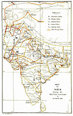
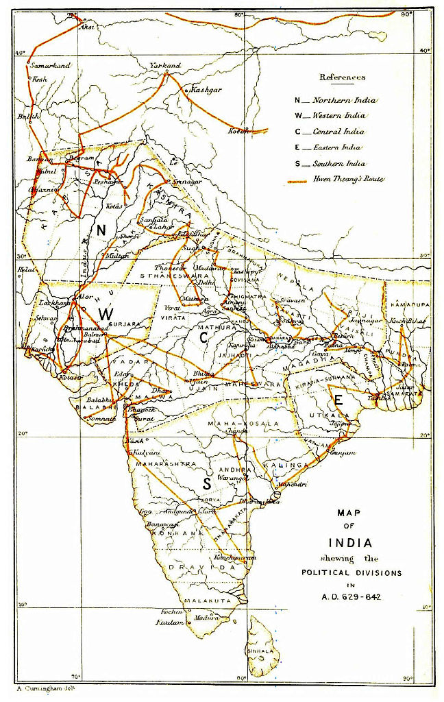
Route taken by Xuanzang in India - map drawn by Alexander Cunningham |
|||||||||
| Date | ||||||||||
| Source | The Ancient Geography of India (1871) | |||||||||
| Creator |
Alexander Cunningham |
|||||||||
| Permission (Reusing this file) |
|
|||||||||
| Geotemporal data | ||||||||||
| Bounding box |
|
|||||||||
| Georeferencing | ||||||||||
File history
Click on a date/time to view the file as it appeared at that time.
| Date/Time | Thumbnail | Dimensions | User | Comment | |
|---|---|---|---|---|---|
| current | 05:16, 1 April 2014 | | 1,400 × 2,212 (2.1 MB) | wikimediacommons>Shyamal | {{Information |Description=Route taken by Xuanzang in India - map drawn by Alexander Cunningham |Source=The Ancient Geography of India (1871) |Date=1871 |Author=Alexander Cunningham |Permission={{pd-old-70}} |other_versions= }} Category:Xuanzang [[... |
File usage
The following page uses this file: